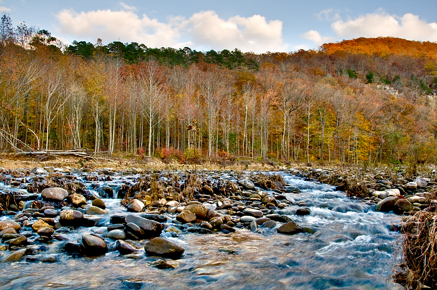
I set out Saturday for the third weekend in a row looking for some fabulous fall foliage. I failed. In the hope that the leaves down south were still in peak form, I headed down to the Cossatot Falls State Park. As I headed down I-540, I could see the leaves in Northwest Arkansas were about done. I was hoping the foliage would get better the farther south I traveled on Highway 71. I was disappointed. Plus, the area I went to might not be the best for fall color anyway. The area is mostly timber company land planted in pine trees. The little swirly parts in the photo become raging whitewater holes when the river comes blasting through after heavy rains. The river is typically low in the fall. On Saturday, you could have easily waded across without a problem. Cossatot is supposedly an Indian word that means skull crusher. They say this is the most challenging whitewater in Arkansas.
We had planned to go for a drive in the Buffalo River area Sunday to see the leaves, but Abby got sick and Gina felt a 103 degree fever was not conducive to viewing fall foliage. Gina cut me loose for the afternoon and I headed out by myself.
I drove to Ponca and bought a map of the hiking trails in the western part of the national river park. Parking at the Ponca access to the river, I took off east on the Old River Road Trail, which I had never been on before. The scenery in he Buffalo River bottom is always nice, but the fall foliage seemed to be past peak down there. I bet the trees along the river in the top photo were afire in red and yellow a week ago. That would have made a better picture, of course.
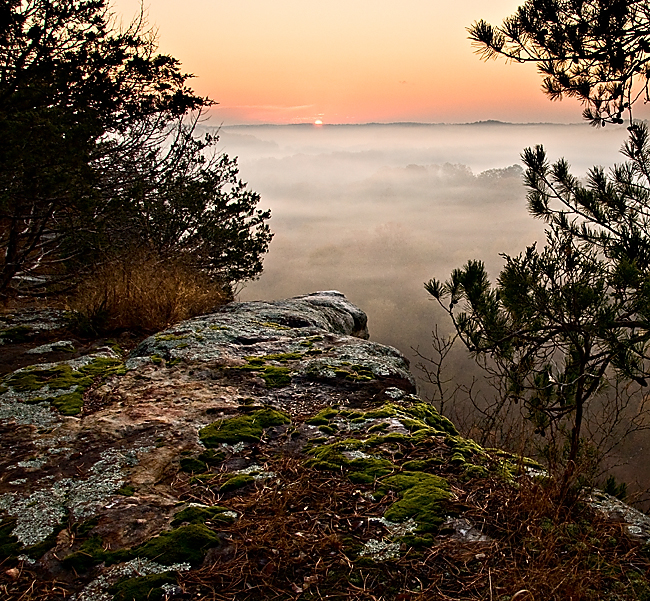
A couple months ago when I went to check out Eagles Nest Falls in the Madison County Wildlife Management Area I found this magnificent view of the Kings River valley. I made a mental note to try to get back there to see the fall foliage at sunrise. I figured this Saturday would be perfect because the switch back to standard time on Sunday would make sunrise come earlier and make it less likely I would be able to get there early enough. (I realize that sunrise happens when it happens and we humans are the ones who put a time to it. But these are mental gymnastics I used to convince myself that rising at 5 a.m. was a good idea.) My dad was in town and he’s always up way too early and he enjoys a good hike, so he was game to go along with my idea.
Hurricane Ike dumped a bunch of water overnight Saturday so I set out about 9 a.m. to look for some rare September waterfall action. I planned to hit Murray and Senyard Falls off the Pig Trail north of Cass and then maybe check out the cascades below Lake Sequoyah on my way back home.
Hurricane Gustav parked itself over Arkansas most of last week and dumped a whole bunch of rain, so I hoped enough water would be left running on Saturday to have the waterfalls at full glory. Perusing the Arkansas waterfall Bible written by Tim Ernst, I picked out Tea Kettle Falls to visit.
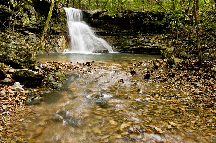
Tea Kettle is in the Madison County Wildlife Management Area south of Eureka Springs about a mile off a gravel road. It’s a pretty good hike, about a mile down Warm Fork Creek with no official trail. You just follow the creek through the woods. The picture above is a waterfall on a side creek visible from the main creek. The Warm Fork probably only runs during wet weather. Despite there being plenty of water in it, I didn’t see a single fish or other water creature. And the water was clear as gin. Creeks and rivers in the Ozarks normally have an emerald green tint from mineralization, but this water was as clear as any I’ve ever seen.
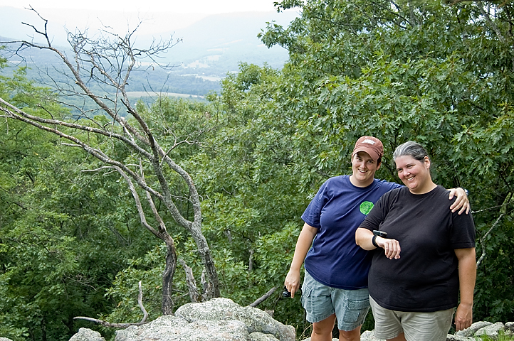
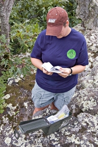
Team Jackass reunited for some geocaching on Saturday, this time in the rugged terrain of the Ozarks. Team members were able to overcome the heat, humidity and elevation changes, but six miles of bad road felled the team’s elder statesman. While he was attempting to recover from a punishing case of car sickness, the other members scaled Round Top Mountain near Jasper, Ark., to claim a cache called Knife Edge.
I didn’t document the expedition very well. I think the pressure of topping last year’s film got to me. I didn’t take many pictures and the footage I captured on video is mostly people walking through the jungle-like terrain. I got a decent shot of the sisters, though, and one of Katie examining the goodies in the cache.
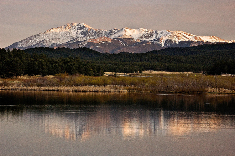
Pikes Peak shot from the dam at Manitou Lake, which is about 7 miles north of Woodland Park, Colo. My photos here turned out pretty noisy because I failed to turn off the auto ISO feature when I switched to manual exposure mode. The camera bumped the ISO to 1600 and I didn’t know it until a couple weeks later. I was pretty bummed because I loved the light and the reflection on the lake. I mean, how many times am I gonna be able to shoot Pikes Peak in such cool light? Lesson learned, I guess.
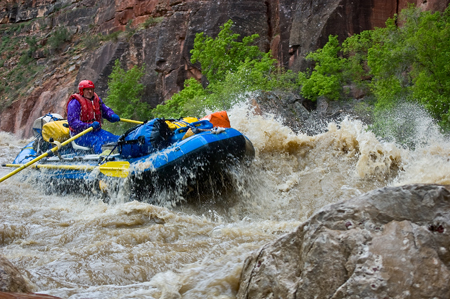
Dale in Warm Springs rapid.
When I saw the gaping maw of the hole near the bottom of Warm Springs rapid, it occurred to me that I might be better off not being in any boat that had even a slight chance of going in there.
When the two park rangers recommended we portage two of the boats, watching the carnage from the shore became even more attractive.
When the second boat down the rapid flipped in the hole and the upside-down raft and its captain disappeared around the bend, I knew I would be walking around the beast.
It was day three of rafting the Yampa River in northwestern Colorado. I had taken a brief swim in the chilly, brown water the day before and didn’t want to repeat that experience.
We launched from Deerlodge Park on the eastern tip of Dinosaur National Monument into a river barely contained in its banks. The silty water was the color of heavily creamed coffee and carried trash, lumber, brush, and whole trees even. And dead animals: goats, cows, deer, etc. We had 18 people in 8 boats and would be out five days and four nights, May 21-25.
We spent a day and half in the Deerlodge campground rigging boats and running the shuttle under glorious skies and temperatures in the 70s and 80s. We left the comfy weather and luxurious pit toilets behind when we hit the river.
Dad and I drove down to the Buffalo National River and hiked to Whitaker Point and visited Hawksbill Crag, perhaps the most photographed natural feature in Arkansas. On the drive down we encountered a huge thunderstorm, part of a swarm of storms in Oklahoma, Missouri and Arkansas that killed a bunch of people. We pulled off under a tree when the hail got too bad. As we started off down the trail, we heard the ominous sound of thunder. We planned to visit Upper Haley’s Falls and then go on to Hawksbill Crag. Tim Ernst named the falls in his waterfall guidebook after Haley Zega who got lost in the area in the 2001. I suggested that the waterfall probably had a huge overhang — because most waterfalls in the area do — and we could take refuge under it if need be.
I’ve always loved waterfalls and with all the water that’s fallen from the sky this spring, the water falling from the rocks has been spectacular. I tried taking photos of them in the past with film, but I just didn’t do it enough to become proficient. The lag time between shooting and developing film and seeing mistakes and remembering them and correcting them the next time out was too arduous for me. I’d rather just go play golf with its instant feedback. But with a digital camera I can shoot, check out the LCD, spin some dials, push some buttons and try again until I get something I like.
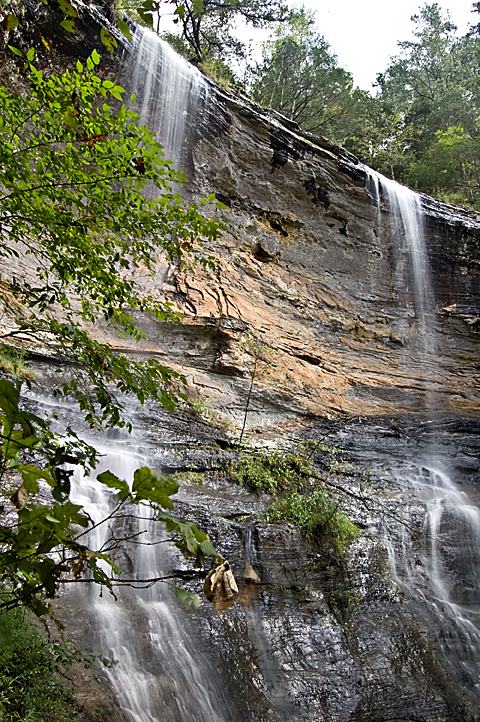
Now, I’m not disappointed with the exposure, but a lot of times I’m disappointed with the composition. I did like the composition on this shot of the underside of the Glory Hole near Fallsville in the Ozark National Forest.
I’ve gone kind of goofy on photographing the waterfalls. I bought the Tim Ernst waterfall guidebook and I’ve been mapping out what falls I want to see before they dry up this year. Gina, Abby and I went out Saturday looking for King’s River Falls and it was a total bust. It was sunny and we were out too early in the day. Abby got grouchy after 3 hours of riding around, which meant Gina was grouchy and I was grouchy. After all that we didn’t even get to see King’s River Falls because the road was too washed out for Gina’s Honda Accord to navigate.

