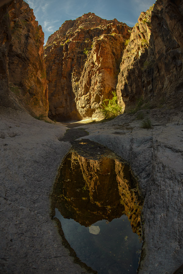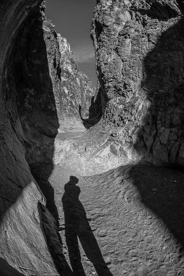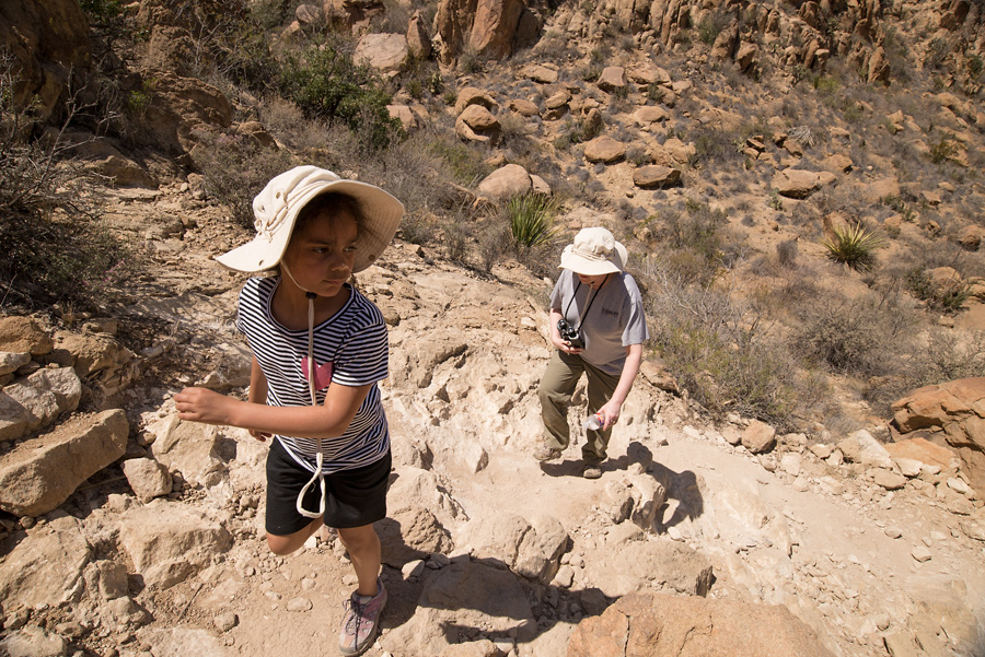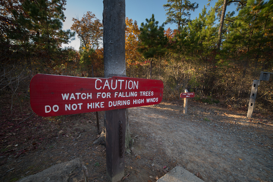
We had one pretty epic hike planned. A seven miler up into the high Chisos Mountains to Laguna Meadow. We woke up early to freezing temps. The leaky ice maker outside our cottage had created a slick spot of ice on the sidewalk. Gramps made the half mile walk from his accommodations to meet us and we headed out. Around 1,600 feet of elevation gain awaited us.
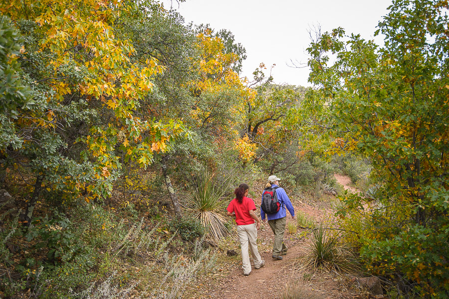
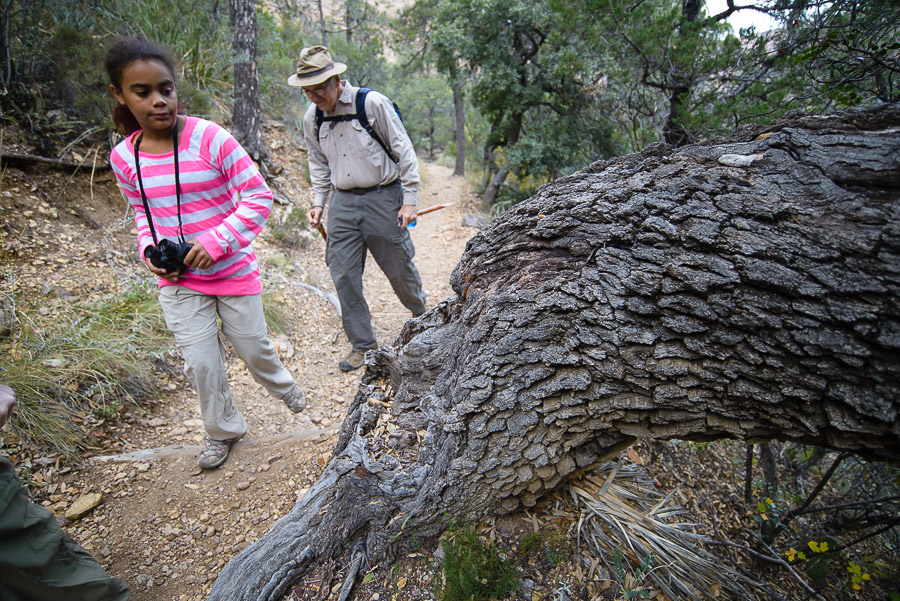
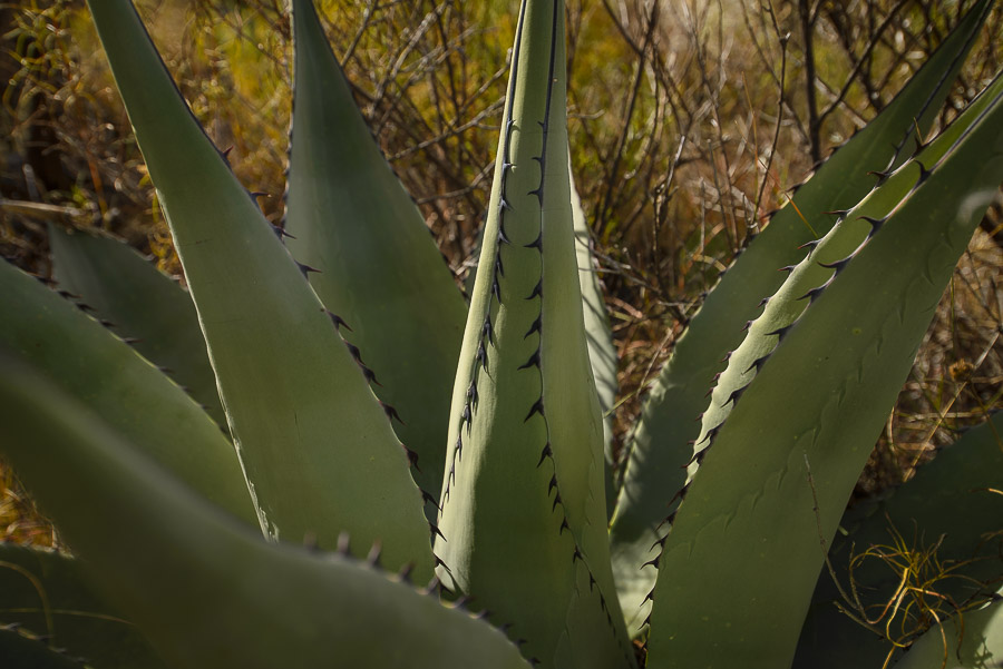
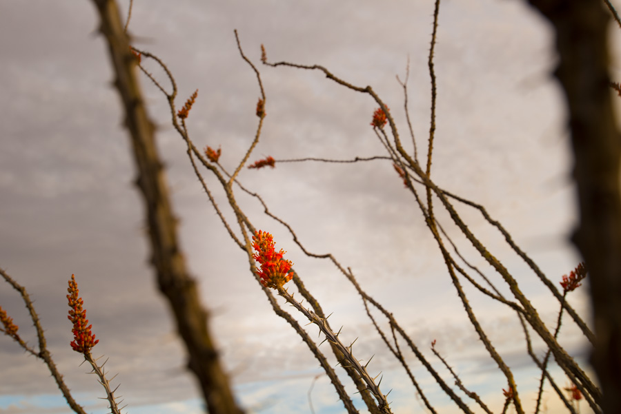
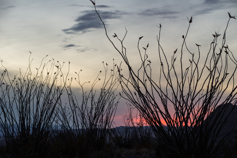
Although it was late November, the leaf change had just gotten going in earnest. The mountains are an interesting mix of desert and forest. Among the cactus and agave are ponderosa pine and oak trees and other plants commonly found farther north in the West. Although we didn’t get to them on this hike, the Chisos Mountains are home to southernmost stand of aspen in the U.S.
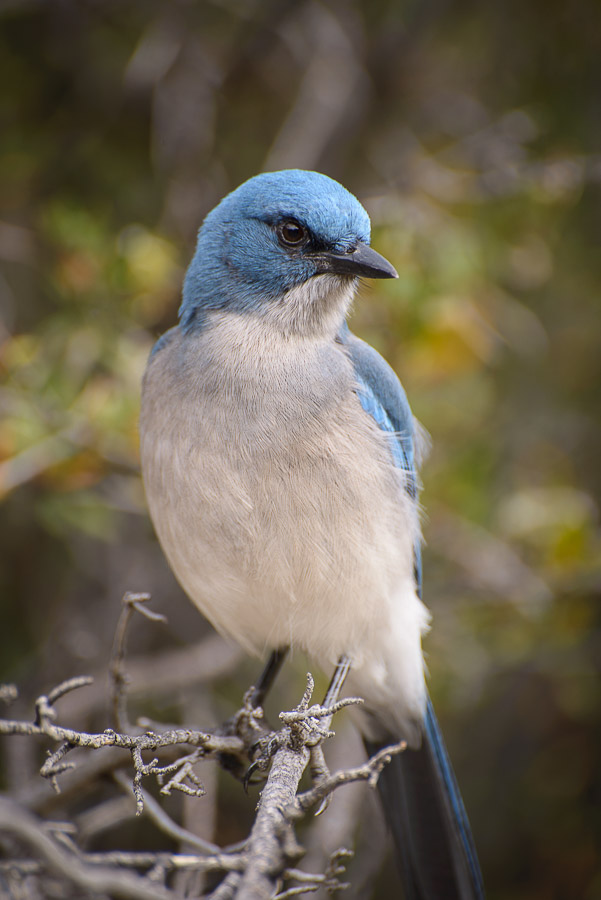
A couple hours in we stopped for a longish break for a midmorning snack. Gina, being some kind of bird whisperer, started throwing bits of peanut butter crackers on the ground and small flock of Mexican jays swooped out of the mountains and started chowing down. They nearly ate out of our hands.
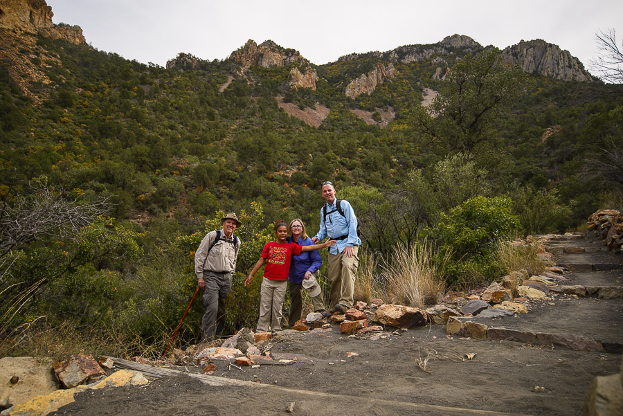
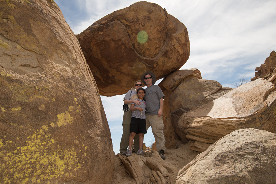
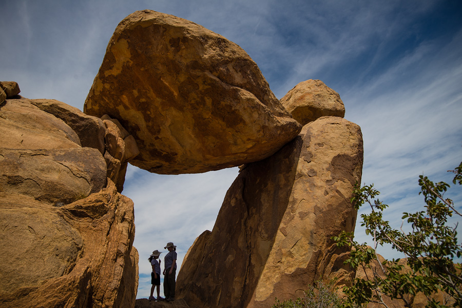
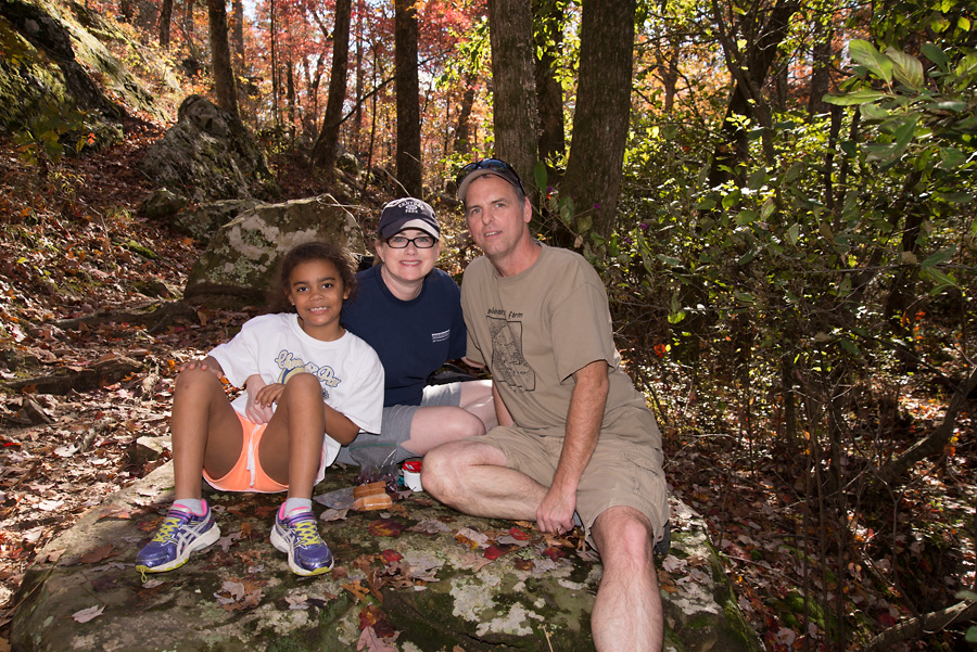
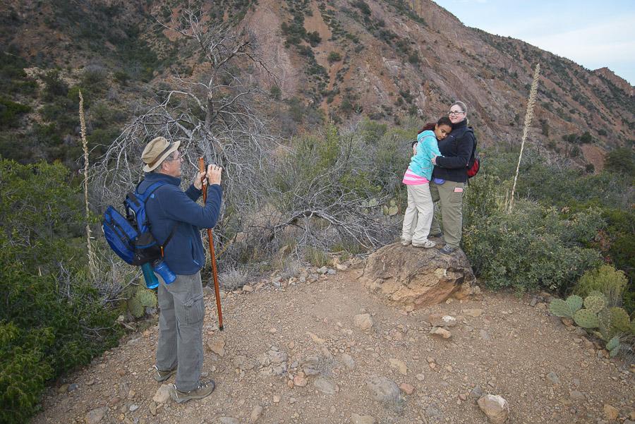
We lined up for a group photo after our snack. We should’ve stood closer to the camera.
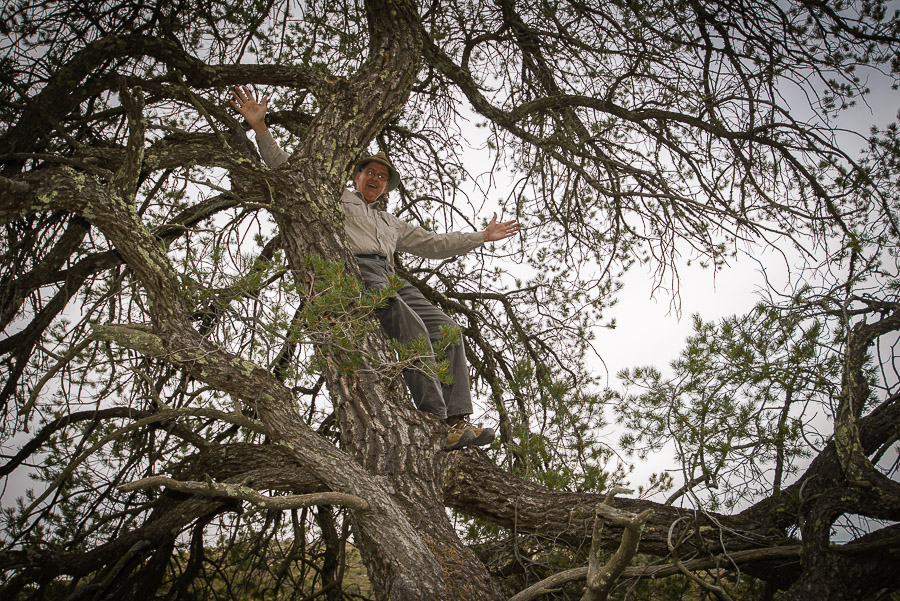
Gramps recommends climbing trees whenever possible. Especially when you’re 4 miles up a mountain in one of the most remote areas of the country with no real hope of timely medical intervention should you fall and crack open your skull.
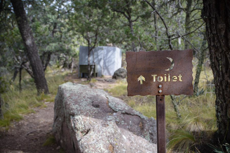
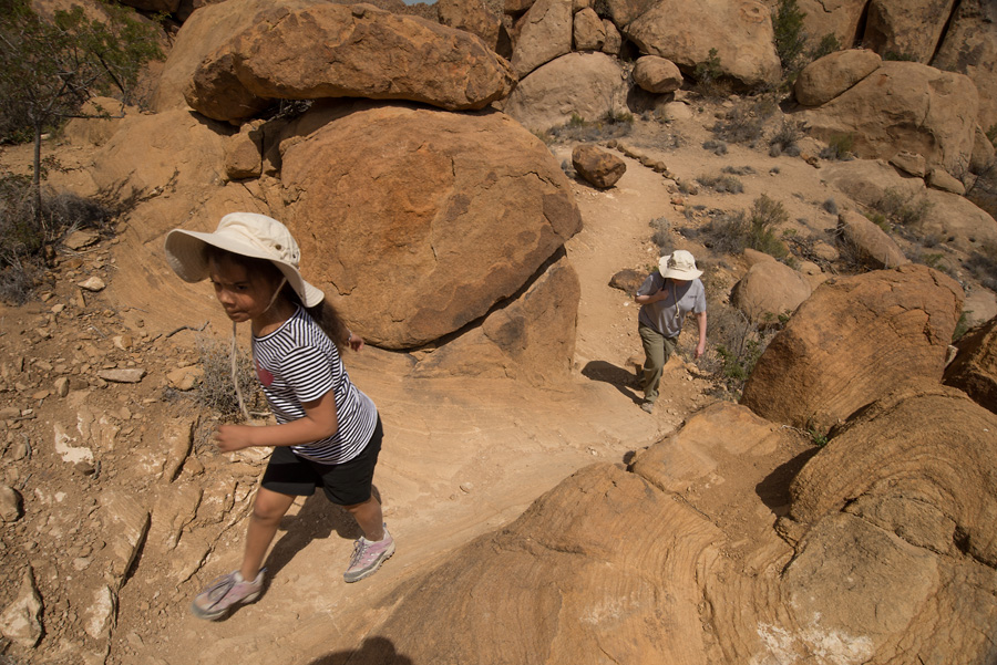
We did a lot of lolly gagging so it took us about 4 hours to get to Laguna Meadow. We thought it was pretty funny that there was a weird pit toilet up there. The trail gets a lot of traffic. Many, many groups of hikers passed us on the way up. Most were headed to the South Rim of the Chisos to camp for the night. Some groups planned to make a day trip out of the 13 mile round trip South Rim hike. We saw a man and woman in basically street clothes who said they were doing that. The woman had one of those mesh backpack purse things with the strings for straps with 2 bottles of water in it. I imagine they wanted to kill each other when they got finished.
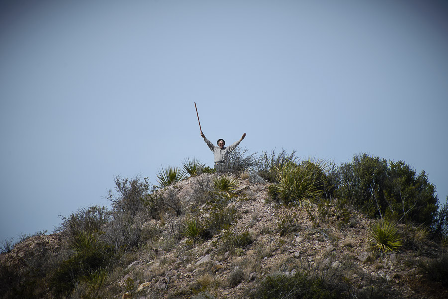
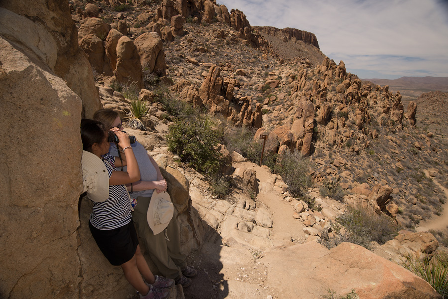
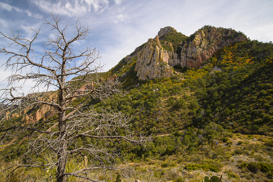
On the way back, just as the trail started downhill, Gramps broke off and scrambled up the southern peak of Ward Mountain. I soon followed him up there and got what must be the second best view of the Basin.
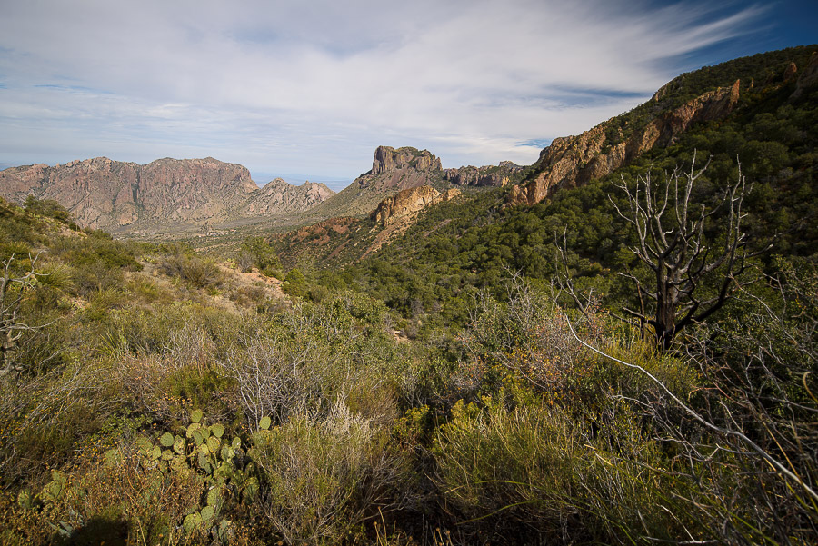
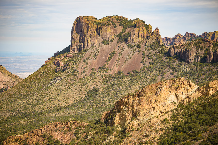
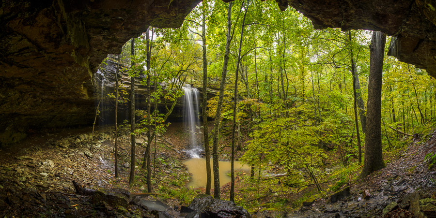
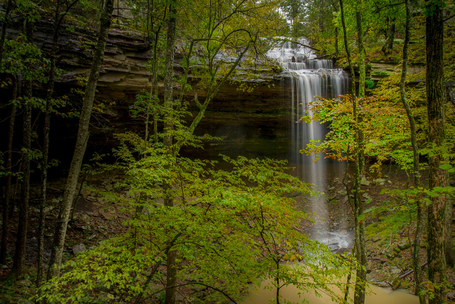
Views of Casa Grande from Ward Mountain. The top of Casa Grande is the best view of the Basin.

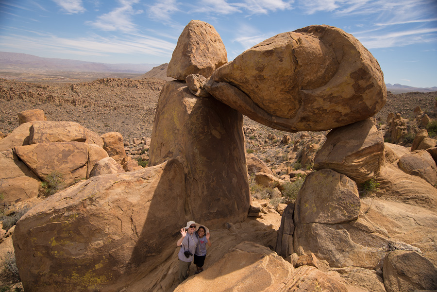
We paused in the howling wind atop the mountain to take a bunch of photos.
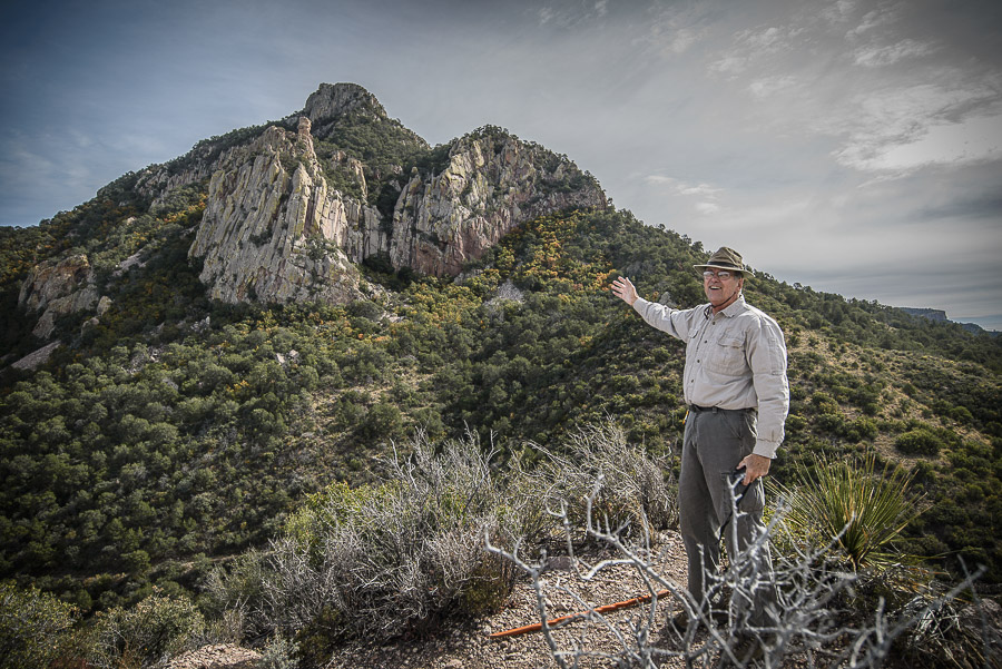
Gramps, ala Vanna White, pointing out Emory Peak, the highest point in the Chisos.
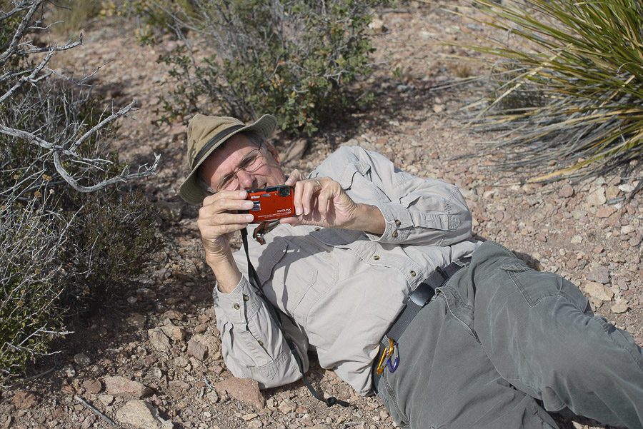
Gramps isn’t afraid to do what it takes to get the shot.
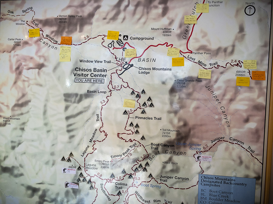
One of my favorite things to do in Big Bend NP is to hit the visitor center in the Basin and check out the map of recent bear and mountain lion sightings. It’s hard to make out in the photo, but there were two sightings of a group of three mighty pumas at Laguna Meadow the week before our hike.
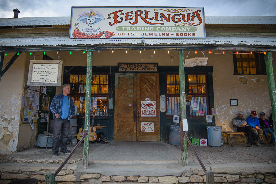
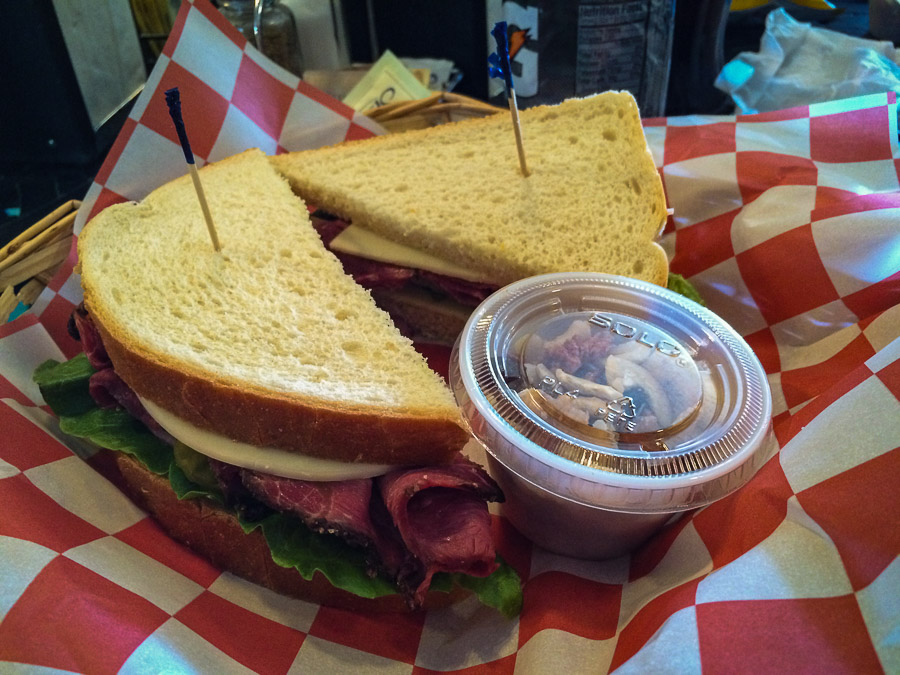
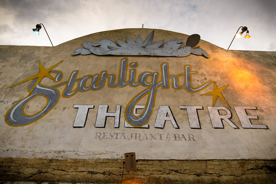
The hike took way longer than any of us expected. Gramps thought we’d be back around noon. It was closer to 4 p.m. We were starving and looking forward to eating at the Starlight Theater outside the park in Terlingua Ghost Town. The ghost town is small area of ruins from the area’s mining days with a big gift shop, bed and breakfast accommodations and a few restaurants. It’s always packed with tourists and locals having a big time. The waits are long for the restaurant but there’s enough to do that you don’t really notice.
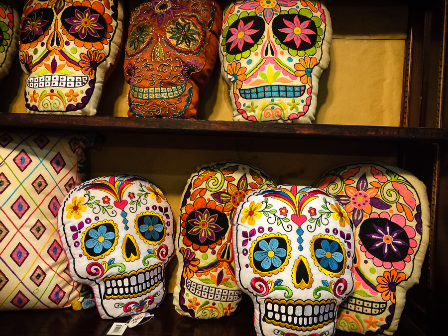
Day of the Dead items are a big component of the souvenirs at the gift shop.